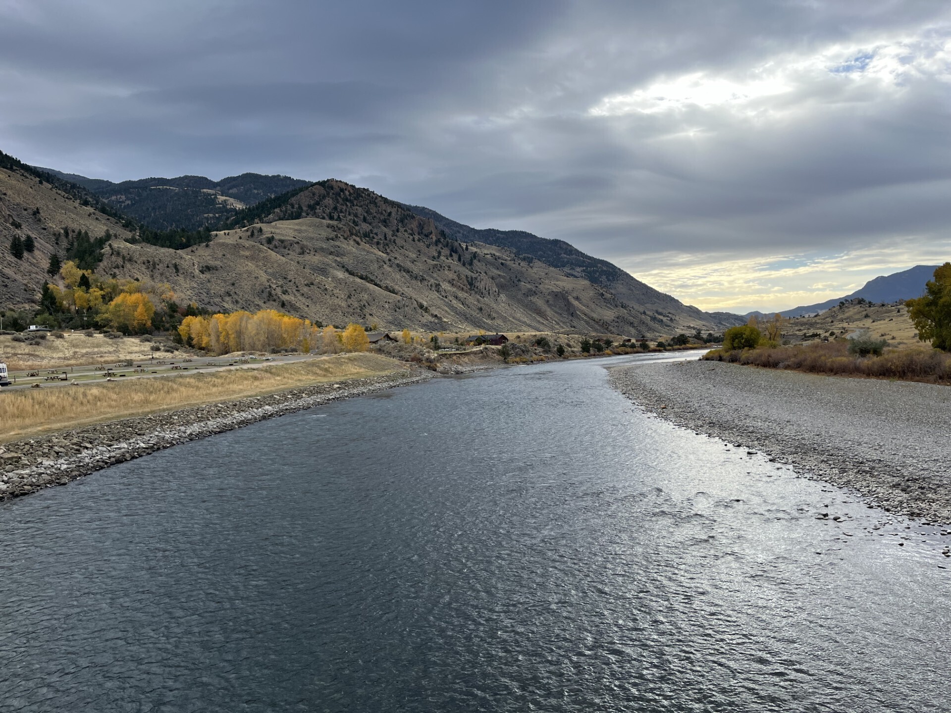
The international mission collects two-dimensional views of smaller waves and currents that are bringing into focus the ocean’s role in supporting life on Earth.
Read More ›
In a first, researchers from NASA and Virginia Tech used satellite data to measure the height and speed of potentially hazardous flood waves traveling down U.S. rivers. The three waves they tracked were likely caused by extreme rainfall and by a loosened ice jam.
Read More ›
More accurate maps based on data from the SWOT mission can improve underwater navigation and result in greater knowledge of how heat and life move around the world’s ocean.
Read More ›
Data from the U.S.-European Surface Water and Ocean Topography mission gives researchers a detailed look at lakes and reservoirs in a U.S. watershed.
Read More ›
One Earth satellite can see plankton that photosynthesize. The other measures water surface height. Together, their data reveals how sea life and the ocean are intertwined.
Read More ›