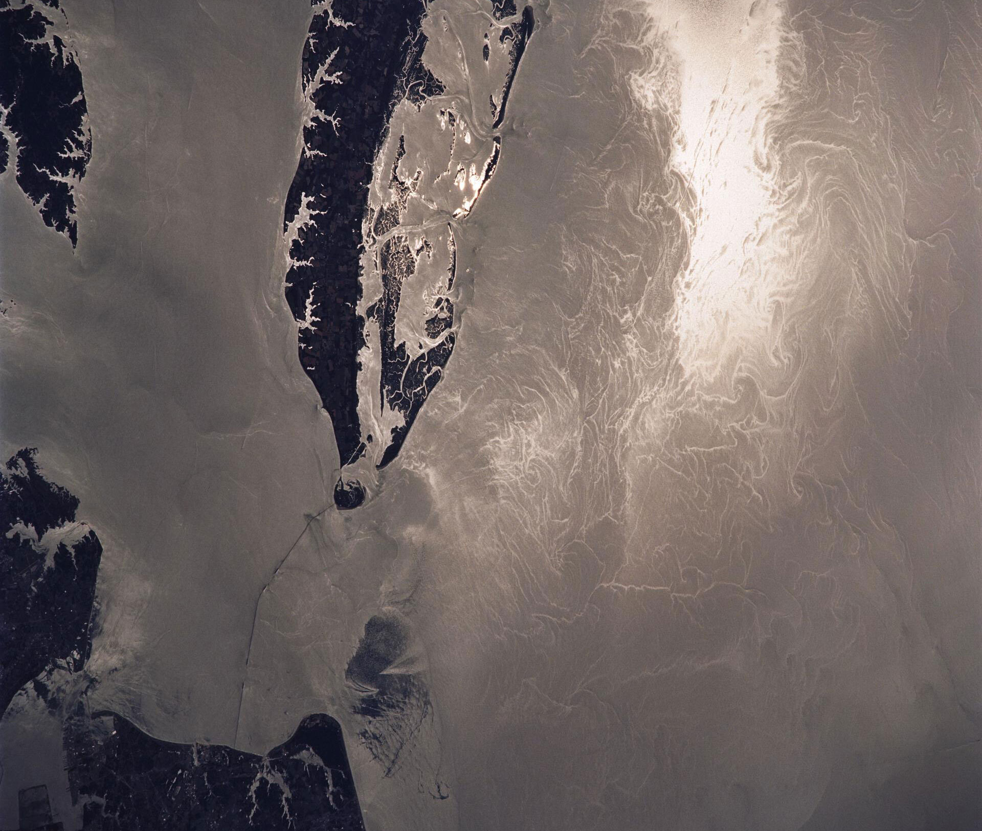
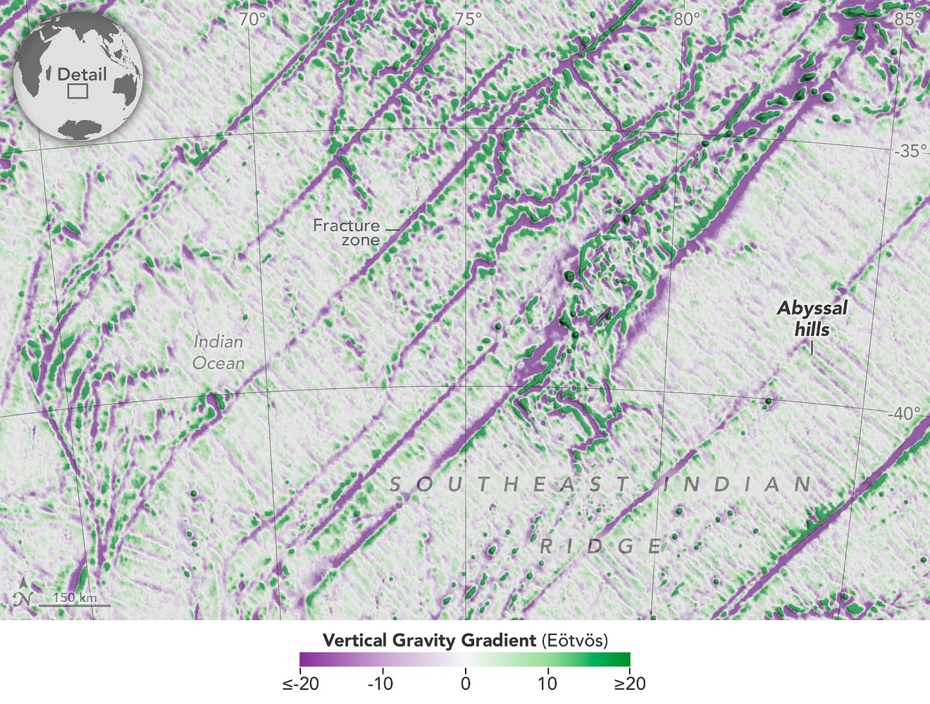
Data from the U.S.-European Surface Water and Ocean Topography mission gives researchers a detailed look at lakes and reservoirs in a U.S. watershed.
Read More ›
One Earth satellite can see plankton that photosynthesize. The other measures water surface height. Together, their data reveals how sea life and the ocean are intertwined.
Read More ›
Data from space shows water tilting up toward the north side of the Dickson Fjord as it sloshed from south to north and back every 90 seconds for nine days after a 2023 rockslide.
Read More ›
Data from the international Surface Water and Ocean Topography mission helped researchers to calculate the depth of water in this transient freshwater body.
Read More ›