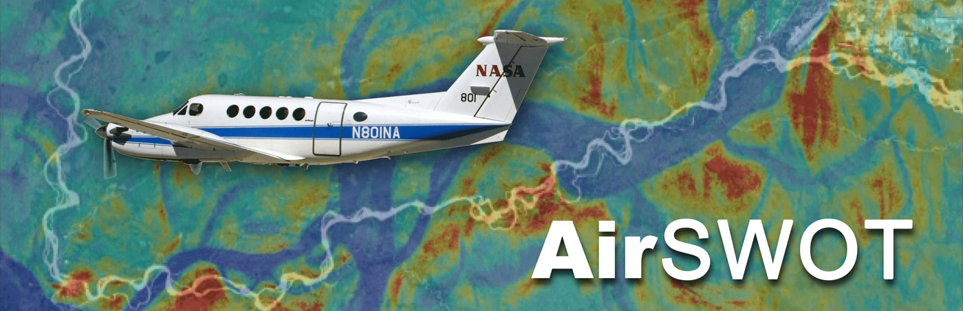
AirSWOT is an airborne instrument for supporting the SWOT mission. AirSWOT data help the engineering team better understand the natural properties of the Earth surfaces that SWOT will observe so that the SWOT design can be better tailored to the science objectives of the mission. AirSWOT data will also be used to help calibrate and validate SWOT data and can be used additionally for science studies in their own right.
It has been integrated with a B200 Super King Air aircraft operated by NASA Armstrong Flight Research Center. AirSWOT is designed to make interferometric measurements similar to those that will be made in space by SWOT. For example, AirSWOT gathers data over science targets for:
- Water elevation mapping
- Surface characterization (i.e., backscatter and coherence time) and classification (e.g., land vs. water)
- Understanding signals affected by vegetation
- Validation of water discharge algorithms
AirSWOT plays a key role in SWOT mission development. It allows scientists and engineers to study interferometric data before launch and thus be prepared to effectively interpret SWOT data after launch. In addition, AirSWOT campaigns will be flown during the SWOT mission to calibrate and validate data collected by the satellite.
Ka-band SWOT Phenomenology Airborne Radar
The core of AirSWOT is the Ka-band SWOT Phenomenology Airborne Radar (KaSPAR). It collects two swaths of across-track interferometry data - between nadir and 1 km and between 1 km and 5 km, respectively - which can be used to obtain centimeter-level topographic maps of water surfaces. In addition, KaSPAR has an along-track interferometer that can be used to measure the temporal decorrelation of water surfaces, as well as the water radial velocity.
Complementary Measurements
In addition to the KaSPAR measurements, AirSWOT will provide complementary measurements using:
- Digital Camera System. For validation of surface water extent and for characterization of terrain type, simultaneous measurements will be collected using a color-infrared (CIR) Digital Camera System.
- Precision Inertial Measurement Unit (IMU). Precision attitude and positioning information will be collected using an Applanix POSAV 610 integrated GNSS/IMU system.
The initial development of AirSWOT was funded by the NASA SBIR program. The KaSPAR radar design and many subsystems were developed by Remote Sensing Solutions (RSS). Integration, testing, processor development and validation of the AirSWOT operational system was done under joint funding from NASA ESTO under the Instrument Incubator Program and the SWOT project by a team of JPL, RSS engineers and SWOT science team members.
Resources
Publications
Estimating River Discharge with Swath Altimetry: A Proof of Concept Using AirSWOT Observations
(2019), Tuozzolo, S., Lind, G., Overstreet, B., Mangano, J., Fonstad, M., Hagemann, M., Frasson, R.P.M., Larnier, K., Garambois, P.‐A., Monnier, J., and Durand, M.
AirSWOT Measurements of River Water Surface Elevation and Slope: Tanana River, AK
(2017), Altenau, E.H., Pavelsky, T.M, Moller, D., Lion, C., Pitcher, L.H., Allen, G., Bates, P.D., Calmant, S., Durand, M., and Smith, L.C.
Meeting Presentations and Posters
Recent AirSWOT Results for Lakes and Wetlands
(2018), Pitcher, L., Smith, L., Pavelsky, T., Moller, D., Gleason, C., Fayne, J., Cooley, S., Humphries-Altenau, E., and Allen, G.
Recent AirSWOT Results for Rivers
(2018), Altenau, E., Pitcher, L., and Tuozzolo, S.
Documents
Development and Comprehensive Validation of SWOT River Discharge Algorithms from AirSWOT, Simulator, and Field Measurements
(2017) Plan to 1) perform comprehensive validation of four existing algorithms; 2) develop a novel synergistic algorithm and provide an open source user platform to deliver discharge products; and 3) develop these algorithms for deployment at river basin scales.